Monument Lane, Codnor Park
Introduction
The photograph on this page of Monument Lane, Codnor Park by Alan Murray-Rust as part of the Geograph project.
The Geograph project started in 2005 with the aim of publishing, organising and preserving representative images for every square kilometre of Great Britain, Ireland and the Isle of Man.

There are currently over 7.5m images from over 14,400 individuals and you can help contribute to the project by visiting https://www.geograph.org.uk
Monument Lane, Codnor Park
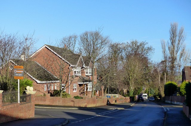
Image: © Alan Murray-Rust Taken: 30 Nov 2018
The top of Codnor Park residential area, developed largely between the wars, but with later housing too.
Images are licensed for reuse under creativecommons.org/licenses/by-sa/2.0
Image Location
Latitude
53.057184
Longitude
-1.351378