Houses on Fusion development
Introduction
The photograph on this page of Houses on Fusion development by Derek Harper as part of the Geograph project.
The Geograph project started in 2005 with the aim of publishing, organising and preserving representative images for every square kilometre of Great Britain, Ireland and the Isle of Man.

There are currently over 7.5m images from over 14,400 individuals and you can help contribute to the project by visiting https://www.geograph.org.uk
Houses on Fusion development
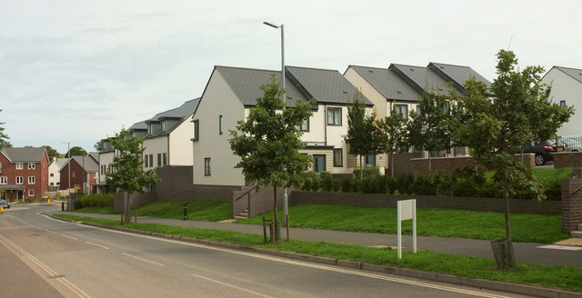
Image: © Derek Harper Taken: 30 Aug 2018
The road in the foreground is Wilkins Drive, the main estate road, but I think the address for the terrace in the centre may Meadowsweet Way, although it actually runs parallel to Wilkins Drive.
Images are licensed for reuse under creativecommons.org/licenses/by-sa/2.0
Image Location
Latitude
50.418227
Longitude
-3.587136