Information Board in Little Chalfont Nature Park (1)
Introduction
The photograph on this page of Information Board in Little Chalfont Nature Park (1) by David Hillas as part of the Geograph project.
The Geograph project started in 2005 with the aim of publishing, organising and preserving representative images for every square kilometre of Great Britain, Ireland and the Isle of Man.

There are currently over 7.5m images from over 14,400 individuals and you can help contribute to the project by visiting https://www.geograph.org.uk
Information Board in Little Chalfont Nature Park (1)
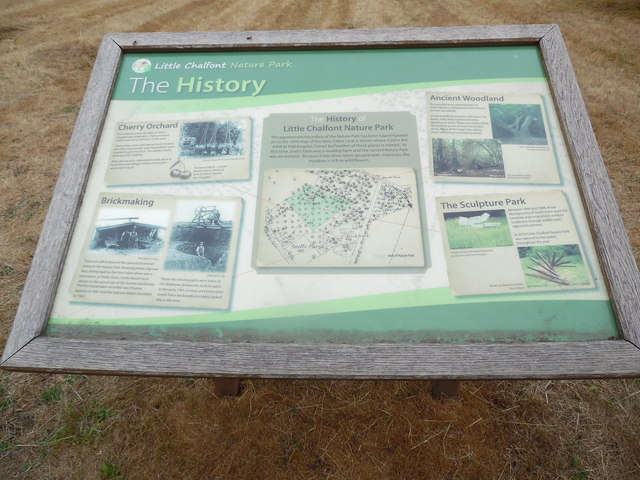
Image: © David Hillas Taken: 11 Aug 2018
This information board in Little Chalfont Nature Park off Cokes Lane HP7 9QA, has the following wording: The History Left hand side a) Cherry Orchard The orchard where the Nature Park is situated was originally a cherry orchard which were very common in the area. Cherry trees were well spaced and, because the trees were so tall, very long ladders were needed to pick the fruit. The ladders had a wide base for stability. After the harvest, celebrations took place in local Inns and villages where cherry pies were eaten by all. The photograph shows a cherry orchard (1926) Great/Little Missenden. Below it is the wording "Prestwood Black - a small dessert cherry. The local term for these cherries was 'chuggles'". b) Brickmaking There are still hollows in the ground in several places in the Nature Park showing where clay was dug, dating back to the time when there was a brickworks at Snell's Farm. Snells Wood Court stands on the actual site of the former brickworks. The first brickmaker recorded was Thomas Andrew in 1841 and the last was Albert Saunders in 1901. The two photographs show 'Moulding the clay' and 'Digging for clay'. They were taken at HG Matthews Brickworks at Bellingdon in the early 20th Century and show what Snell's Farm brickworks probably looked like at the time. Middle The History of Little Chalfont Nature Park The approximate boundary of the Nature Park has been superimposed on to the 1876 map of the area. Cokes Lane is shown where it joins the A404 at Nightingales Corner but neither of these places is named. At this time, Snell's Farm was a working farm and the current Nature Park was an orchard. Because it has never been sprayed with chemicals, the meadow is rich in wild flowers. On the map, the Area of Nature Park is shaded in green. Right hand side a) Ancient Woodland The wooded area, originally part of Snell's Wood, is designated semi-natural ancient woodland. In the woodland area, you will notice low banks with often bushes and trees growing on them. These are ancient field boundaries so we are keen to protect them. Many of the large trees along them started out as hedging plants. The two photographs show i) This hornbeam is thought to be over 200 years old, and ii) The woodland in 2013, before it was cleared. b) The Sculpture Park Between 1994 and 2008, Bryan Montgomery of Snell's Farm used the meadow area to promote outdoor sculptures through public open days each summer. In 2016 Little Chalfont Nature Park was opened to the public throughout the year. The two photographs show i) 'Sloping Form' in Portland limestone by Otto Horvath from Hungary, and ii) 'Breath' by Slawomir Brzoska from Poland.
Images are licensed for reuse under creativecommons.org/licenses/by-sa/2.0
Image Location
Latitude
51.666197
Longitude
-0.568352