Old Police Station, Maesycwmmer
Introduction
The photograph on this page of Old Police Station, Maesycwmmer by Jaggery as part of the Geograph project.
The Geograph project started in 2005 with the aim of publishing, organising and preserving representative images for every square kilometre of Great Britain, Ireland and the Isle of Man.

There are currently over 7.5m images from over 14,400 individuals and you can help contribute to the project by visiting https://www.geograph.org.uk
Old Police Station, Maesycwmmer
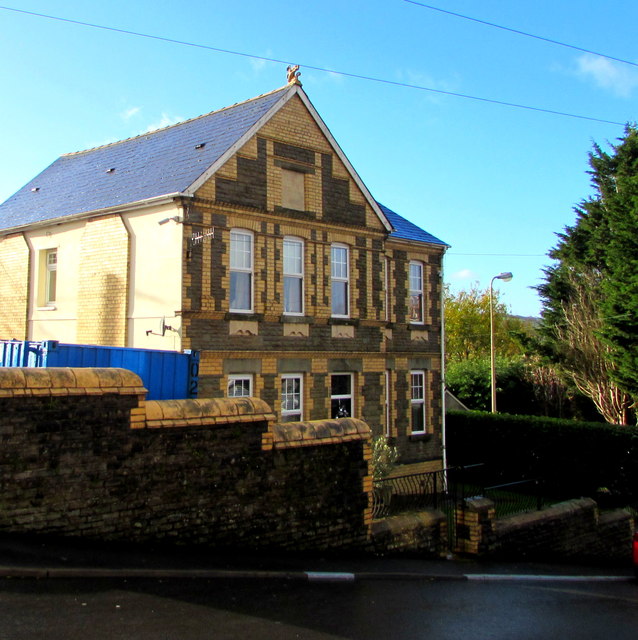
Image: © Jaggery Taken: 30 Nov 2018
The West Avenue side of the house on the corner of Tabor Road. The word POLICE remains legible on the faded tablet near the top of the building. The year on the tablet is indistinct - it appears to start with 18. The final two digits may be 88 89 98 or 99.
Images are licensed for reuse under creativecommons.org/licenses/by-sa/2.0
Image Location
Latitude
51.644465
Longitude
-3.221736