Church, Bicknoller
Introduction
The photograph on this page of Church, Bicknoller by Derek Harper as part of the Geograph project.
The Geograph project started in 2005 with the aim of publishing, organising and preserving representative images for every square kilometre of Great Britain, Ireland and the Isle of Man.

There are currently over 7.5m images from over 14,400 individuals and you can help contribute to the project by visiting https://www.geograph.org.uk
Church, Bicknoller
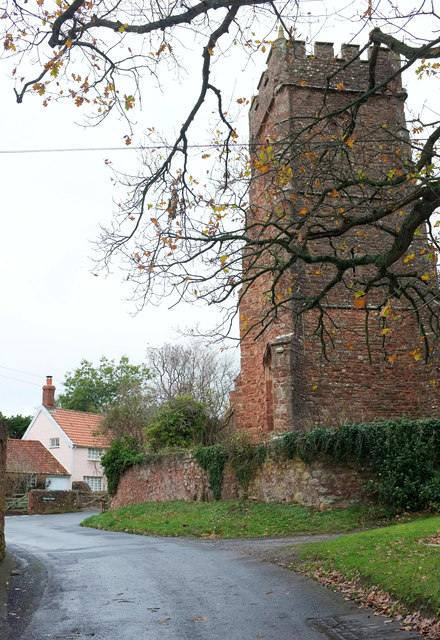
Image: © Derek Harper Taken: 1 Dec 2018
The grade I listed St George's Church https://historicengland.org.uk/listing/the-list/list-entry/1057465 is shown at http://www.geograph.org.uk/search.php?i=89355844 . Church Lane passes the church and swings right.
Images are licensed for reuse under creativecommons.org/licenses/by-sa/2.0
Image Location
Latitude
51.147107
Longitude
-3.27289