63 & 64 Wyle Cop, Shrewsbury
Introduction
The photograph on this page of 63 & 64 Wyle Cop, Shrewsbury by Richard Law as part of the Geograph project.
The Geograph project started in 2005 with the aim of publishing, organising and preserving representative images for every square kilometre of Great Britain, Ireland and the Isle of Man.

There are currently over 7.5m images from over 14,400 individuals and you can help contribute to the project by visiting https://www.geograph.org.uk
63 & 64 Wyle Cop, Shrewsbury
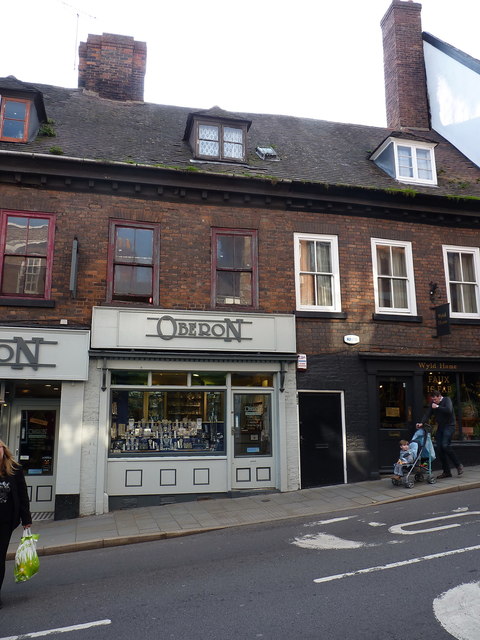
Image: © Richard Law Taken: 19 Oct 2018
The right-hand half of the row of early 18th century houses seen in Image, which were collectively Grade II listed https://britishlistedbuildings.co.uk/101255122-61-64-wyle-cop-shrewsbury#.XARONdSLTGg in 1953.
Images are licensed for reuse under creativecommons.org/licenses/by-sa/2.0
Image Location
Latitude
52.706167
Longitude
-2.750772