Coanwood Drive, West Monkseaton
Introduction
The photograph on this page of Coanwood Drive, West Monkseaton by Graham Robson as part of the Geograph project.
The Geograph project started in 2005 with the aim of publishing, organising and preserving representative images for every square kilometre of Great Britain, Ireland and the Isle of Man.

There are currently over 7.5m images from over 14,400 individuals and you can help contribute to the project by visiting https://www.geograph.org.uk
Coanwood Drive, West Monkseaton
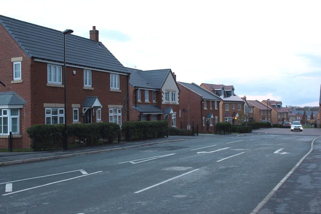
Image: © Graham Robson Taken: 24 Nov 2018
The main access road into to a new residential development being built by Taylor Wimpey.
Images are licensed for reuse under creativecommons.org/licenses/by-sa/2.0
Image Location
Latitude
55.044306
Longitude
-1.487447