Ashton-under-Lyne Platform 2
Introduction
The photograph on this page of Ashton-under-Lyne Platform 2 by Gerald England as part of the Geograph project.
The Geograph project started in 2005 with the aim of publishing, organising and preserving representative images for every square kilometre of Great Britain, Ireland and the Isle of Man.

There are currently over 7.5m images from over 14,400 individuals and you can help contribute to the project by visiting https://www.geograph.org.uk
Ashton-under-Lyne Platform 2
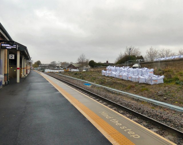
Image: © Gerald England Taken: 25 Nov 2018
For services to Stalybridge and possibly beyond to Huddersfield or Leeds.
Images are licensed for reuse under creativecommons.org/licenses/by-sa/2.0
Image Location
Latitude
53.491271
Longitude
-2.094162