Churchway, Weston Favell
Introduction
The photograph on this page of Churchway, Weston Favell by Stephen McKay as part of the Geograph project.
The Geograph project started in 2005 with the aim of publishing, organising and preserving representative images for every square kilometre of Great Britain, Ireland and the Isle of Man.

There are currently over 7.5m images from over 14,400 individuals and you can help contribute to the project by visiting https://www.geograph.org.uk
Churchway, Weston Favell
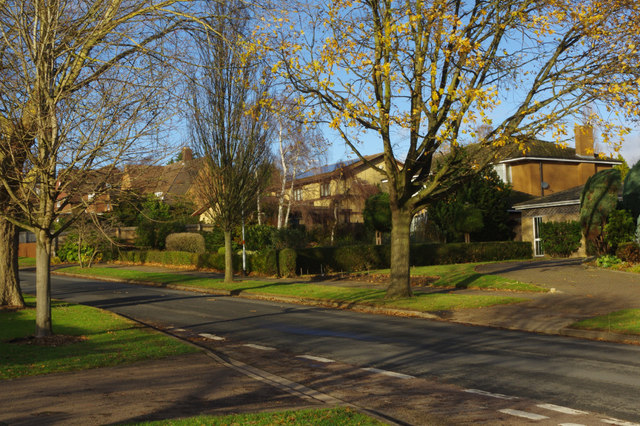
Image: © Stephen McKay Taken: 29 Nov 2018
Looking up Churchway towards Weston Favell village from the junction with Bridgewater Drive in a particularly leafy part of the Northampton suburbs. There is still a hint of Autumn colour at the end of November but most trees have lost their leaves.
Images are licensed for reuse under creativecommons.org/licenses/by-sa/2.0
Image Location
Latitude
52.24593
Longitude
-0.844181