Downs View Road, Swindon
Introduction
The photograph on this page of Downs View Road, Swindon by Brian Robert Marshall as part of the Geograph project.
The Geograph project started in 2005 with the aim of publishing, organising and preserving representative images for every square kilometre of Great Britain, Ireland and the Isle of Man.

There are currently over 7.5m images from over 14,400 individuals and you can help contribute to the project by visiting https://www.geograph.org.uk
Downs View Road, Swindon
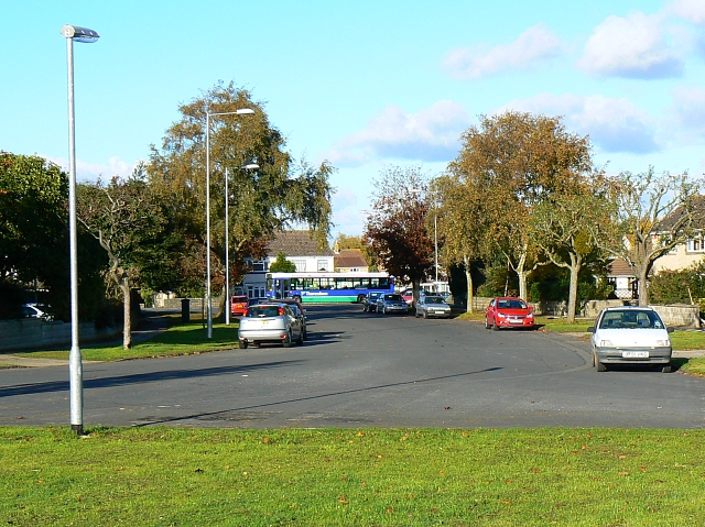
Image: © Brian Robert Marshall Taken: 30 Oct 2007
The road is a cul-de-sac. For such a configuration it is unusually wide. I have heard it said that, when the road was planned, the intention was to take it to the south-west, over the railway that then existed and Broome Manor Lane thus forming a relief road round Old Town. Unfortunately for the planners, someone neglected to obtain the necessary permissions or wayleaves from the landowner and the scheme came to nothing. A further legacy is a wide area of green space, the edge of which is visible in the foreground, between the houses on either side, which were built in the 1930s. The bus in the background is in Marlborough Road on its way into Old Town, Swindon.
Images are licensed for reuse under creativecommons.org/licenses/by-sa/2.0
Image Location
Latitude
51.543495
Longitude
-1.761735