Up Merlin Crescent, Bridgend
Introduction
The photograph on this page of Up Merlin Crescent, Bridgend by Jaggery as part of the Geograph project.
The Geograph project started in 2005 with the aim of publishing, organising and preserving representative images for every square kilometre of Great Britain, Ireland and the Isle of Man.

There are currently over 7.5m images from over 14,400 individuals and you can help contribute to the project by visiting https://www.geograph.org.uk
Up Merlin Crescent, Bridgend
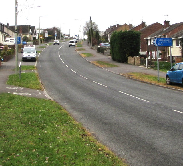
Image: © Jaggery Taken: 21 Nov 2018
Merlin Crescent ascends southwestwards towards the Bryntirion area of Bridgend. The blue sign on the right points left towards a footpath and cycle route to Bridgend town centre.
Images are licensed for reuse under creativecommons.org/licenses/by-sa/2.0
Image Location
Latitude
51.513429
Longitude
-3.597822