Former Lubbesthorpe Bridle Road
Introduction
The photograph on this page of Former Lubbesthorpe Bridle Road by Andrew Tatlow as part of the Geograph project.
The Geograph project started in 2005 with the aim of publishing, organising and preserving representative images for every square kilometre of Great Britain, Ireland and the Isle of Man.

There are currently over 7.5m images from over 14,400 individuals and you can help contribute to the project by visiting https://www.geograph.org.uk
Former Lubbesthorpe Bridle Road
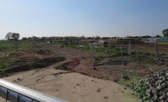
Image: © Andrew Tatlow Taken: 7 May 2018
It is unclear whether this portion of the Lubbesthorpe Bridle Road will be restored.
Images are licensed for reuse under creativecommons.org/licenses/by-sa/2.0
Image Location
Latitude
52.612414
Longitude
-1.222686