Leyburne House, 86, Leyburne Road
Introduction
The photograph on this page of Leyburne House, 86, Leyburne Road by John Baker as part of the Geograph project.
The Geograph project started in 2005 with the aim of publishing, organising and preserving representative images for every square kilometre of Great Britain, Ireland and the Isle of Man.

There are currently over 7.5m images from over 14,400 individuals and you can help contribute to the project by visiting https://www.geograph.org.uk
Leyburne House, 86, Leyburne Road
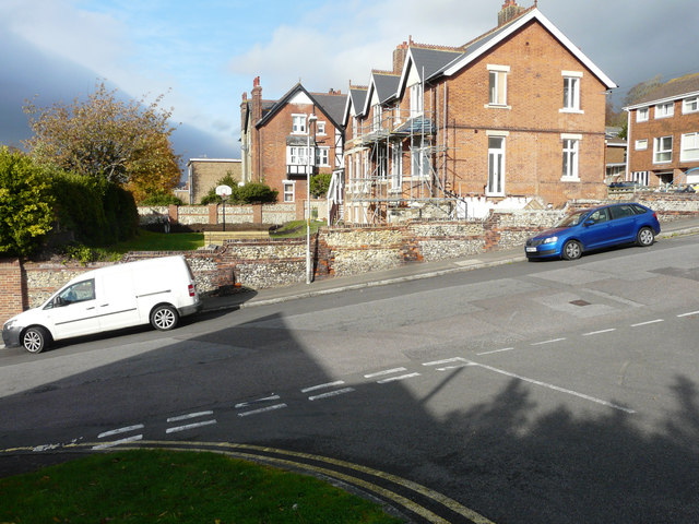
Image: © John Baker Taken: 9 Nov 2018
Seen across Taswell Street, planning permission has been granted by Dover District Council under application number 18/00463 for the “conversion of single dwelling into 2 dwelling houses, erection of side porch extension, installation and alterations to windows, erection of shed/bin stores, new vehicular access and parking (existing rear lean-to, porch and garden shed to be demolished)”. This was Image after its conversion and this was Image after the new vehicular access and parking had been constructed.
Images are licensed for reuse under creativecommons.org/licenses/by-sa/2.0
Image Location
Latitude
51.12915
Longitude
1.315547