Pyket Way, Weston Favell
Introduction
The photograph on this page of Pyket Way, Weston Favell by Stephen McKay as part of the Geograph project.
The Geograph project started in 2005 with the aim of publishing, organising and preserving representative images for every square kilometre of Great Britain, Ireland and the Isle of Man.

There are currently over 7.5m images from over 14,400 individuals and you can help contribute to the project by visiting https://www.geograph.org.uk
Pyket Way, Weston Favell
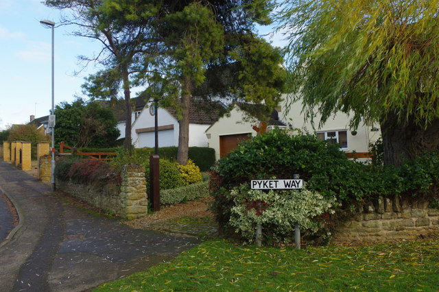
Image: © Stephen McKay Taken: 29 Nov 2018
Pyket Way leads off Weston Favell's High Street - an old village that is now an upmarket suburb of Northampton.
Images are licensed for reuse under creativecommons.org/licenses/by-sa/2.0
Image Location
Latitude
52.250064
Longitude
-0.843927