Tews Lane
Introduction
The photograph on this page of Tews Lane by Derek Harper as part of the Geograph project.
The Geograph project started in 2005 with the aim of publishing, organising and preserving representative images for every square kilometre of Great Britain, Ireland and the Isle of Man.

There are currently over 7.5m images from over 14,400 individuals and you can help contribute to the project by visiting https://www.geograph.org.uk
Tews Lane
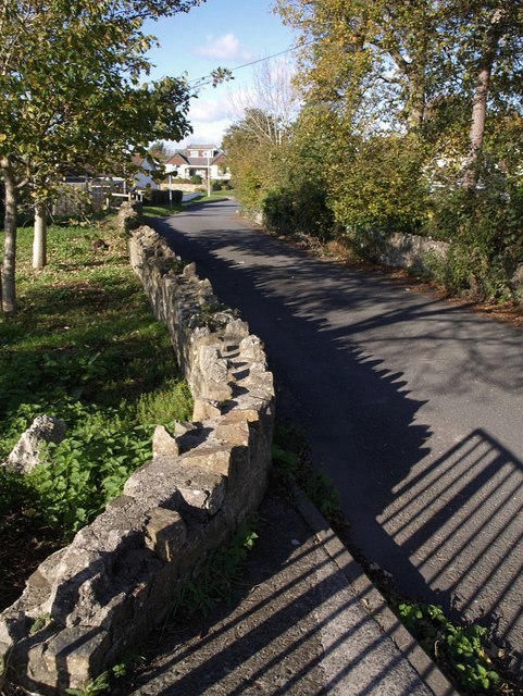
Image: © Derek Harper Taken: 30 Oct 2007
Tews Lane was formerly a through road across country linking the main road west of Barnstaple with a lane leading southwest from the town. Now, the central section is closed to vehicles, and the country lane is bordered by houses along its whole length. This is the northern section, seen from the bridge over the stream which feeds Fremington Pill, and which leads up into Bickington.
Images are licensed for reuse under creativecommons.org/licenses/by-sa/2.0
Image Location


Leaflet Map data © OpenStreetMap
Latitude
51.071092
Longitude
-4.097833