Footpath by South Saxons playing fields
Introduction
The photograph on this page of Footpath by South Saxons playing fields by Patrick Roper as part of the Geograph project.
The Geograph project started in 2005 with the aim of publishing, organising and preserving representative images for every square kilometre of Great Britain, Ireland and the Isle of Man.

There are currently over 7.5m images from over 14,400 individuals and you can help contribute to the project by visiting https://www.geograph.org.uk
Footpath by South Saxons playing fields
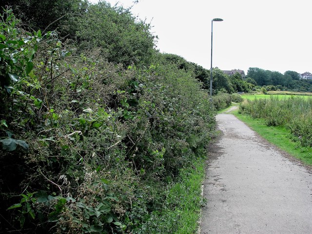
Image: © Patrick Roper Taken: 18 Jul 2009
Running between the Hastings/London railway line and the playing fields, this path runs to West St Leonards.
Images are licensed for reuse under creativecommons.org/licenses/by-sa/2.0
Image Location
Latitude
50.857759
Longitude
0.537798