East side of a low bridge, Pantycelyn Street, Ystrad Mynach
Introduction
The photograph on this page of East side of a low bridge, Pantycelyn Street, Ystrad Mynach by Jaggery as part of the Geograph project.
The Geograph project started in 2005 with the aim of publishing, organising and preserving representative images for every square kilometre of Great Britain, Ireland and the Isle of Man.

There are currently over 7.5m images from over 14,400 individuals and you can help contribute to the project by visiting https://www.geograph.org.uk
East side of a low bridge, Pantycelyn Street, Ystrad Mynach
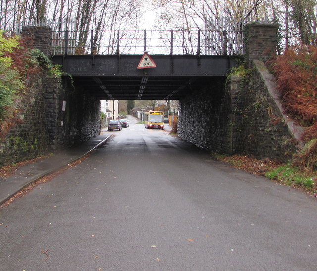
Image: © Jaggery Taken: 28 Nov 2018
Headroom shown is 10' 9". Maps show a disused railway line on the bridge. The bus in the background is on bus route 7 to Blackwood.
Images are licensed for reuse under creativecommons.org/licenses/by-sa/2.0
Image Location
Latitude
51.643914
Longitude
-3.239932