Old building on Nuttall Street, Rochdale
Introduction
The photograph on this page of Old building on Nuttall Street, Rochdale by Stephen Craven as part of the Geograph project.
The Geograph project started in 2005 with the aim of publishing, organising and preserving representative images for every square kilometre of Great Britain, Ireland and the Isle of Man.

There are currently over 7.5m images from over 14,400 individuals and you can help contribute to the project by visiting https://www.geograph.org.uk
Old building on Nuttall Street, Rochdale
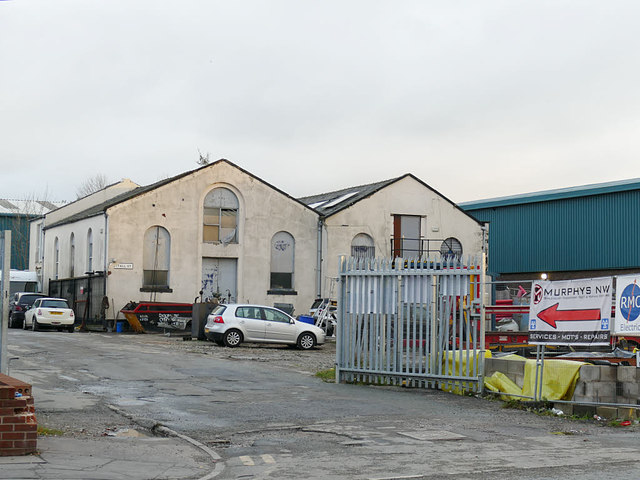
Image: © Stephen Craven Taken: 26 Nov 2018
Nuttall Street barely exists now. Old maps show it as running between Whatmough Street and Tatham Street (the former has gone completely, the latter merely a stub). But the road name remains on this industrial building. The density of the old terraced houses can be imagined if you consider that between the photographer location on Molesworth Street, and Nuttall Street in front of this building, were two lots of houses with a back alley called Stowe Place between them. The metal gates are across what remains of Harriett Street (I wonder whether this is still technically a public highway?)
Images are licensed for reuse under creativecommons.org/licenses/by-sa/2.0
Image Location
Latitude
53.615074
Longitude
-2.149914