North Sherwood Street: a former pub
Introduction
The photograph on this page of North Sherwood Street: a former pub by John Sutton as part of the Geograph project.
The Geograph project started in 2005 with the aim of publishing, organising and preserving representative images for every square kilometre of Great Britain, Ireland and the Isle of Man.

There are currently over 7.5m images from over 14,400 individuals and you can help contribute to the project by visiting https://www.geograph.org.uk
North Sherwood Street: a former pub
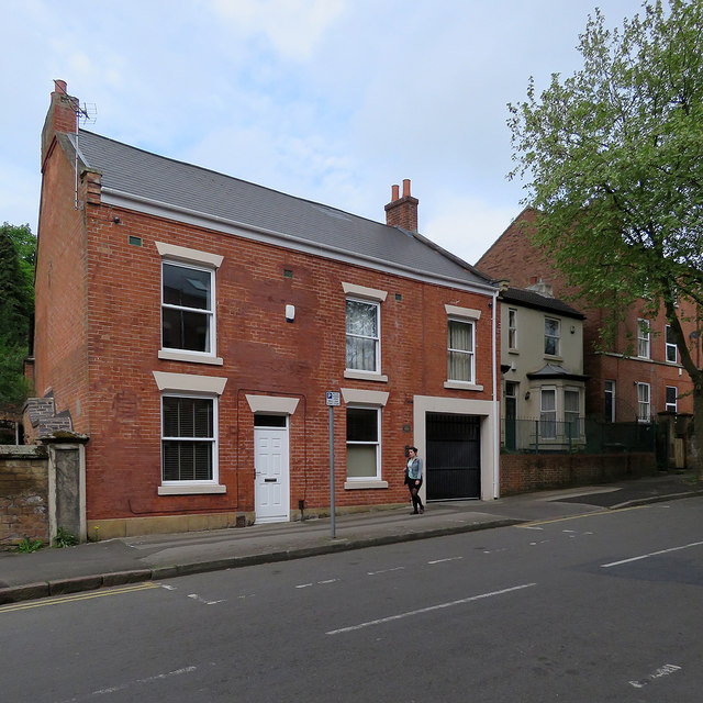
Image: © John Sutton Taken: 12 May 2018
Now in residential use, this was until 2011 the Sir Charles Napier. Image] shows the pub from further up the hill in 2010.
Images are licensed for reuse under creativecommons.org/licenses/by-sa/2.0
Image Location
Latitude
52.962623
Longitude
-1.152403