Towards Whanland
Introduction
The photograph on this page of Towards Whanland by Mary and Angus Hogg as part of the Geograph project.
The Geograph project started in 2005 with the aim of publishing, organising and preserving representative images for every square kilometre of Great Britain, Ireland and the Isle of Man.

There are currently over 7.5m images from over 14,400 individuals and you can help contribute to the project by visiting https://www.geograph.org.uk
Towards Whanland
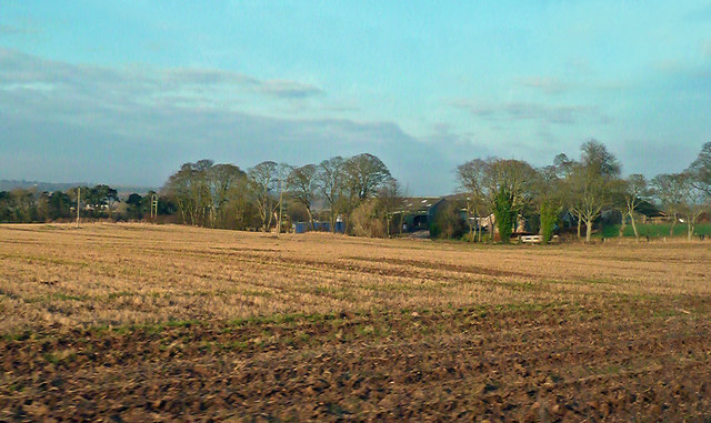
Image: © Mary and Angus Hogg Taken: 16 Nov 2018
The farm is called Whanland on the Landranger map but changes to Whenland on the Explorer series. The roadside sign said Whanland.
Images are licensed for reuse under creativecommons.org/licenses/by-sa/2.0
Image Location
Latitude
56.678454
Longitude
-2.62098