Bettisfield Windmill
Introduction
The photograph on this page of Bettisfield Windmill by John Haynes as part of the Geograph project.
The Geograph project started in 2005 with the aim of publishing, organising and preserving representative images for every square kilometre of Great Britain, Ireland and the Isle of Man.

There are currently over 7.5m images from over 14,400 individuals and you can help contribute to the project by visiting https://www.geograph.org.uk
Bettisfield Windmill
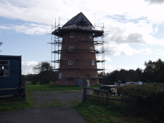
Image: © John Haynes Taken: 30 Oct 2007
This windmill was built as a corn mill, probably to grind domestic flour. http://www.cpat.org.uk/projects/longer/histland/maelor/msindust.htm It is at present being refurbished as a domestic dwelling.
Images are licensed for reuse under creativecommons.org/licenses/by-sa/2.0
Image Location
Latitude
52.909102
Longitude
-2.786545