Marker stone on the Townland Border between Cavan TD and Drumnascamph TD
Introduction
The photograph on this page of Marker stone on the Townland Border between Cavan TD and Drumnascamph TD by Eric Jones as part of the Geograph project.
The Geograph project started in 2005 with the aim of publishing, organising and preserving representative images for every square kilometre of Great Britain, Ireland and the Isle of Man.

There are currently over 7.5m images from over 14,400 individuals and you can help contribute to the project by visiting https://www.geograph.org.uk
Marker stone on the Townland Border between Cavan TD and Drumnascamph TD
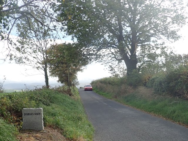
Image: © Eric Jones Taken: 9 Oct 2018
Townlands are small geographical units dating back to the Gaelic Period. The 2014 Irish Place Name gazetteer lists the names of 61,098 townlands. Irish folk, especially in rural areas, still have strong loyalties to their native townland.
Images are licensed for reuse under creativecommons.org/licenses/by-sa/2.0
Image Location
Latitude
54.22995
Longitude
-6.135919