Merton Methodist Church
Introduction
The photograph on this page of Merton Methodist Church by Derek Harper as part of the Geograph project.
The Geograph project started in 2005 with the aim of publishing, organising and preserving representative images for every square kilometre of Great Britain, Ireland and the Isle of Man.

There are currently over 7.5m images from over 14,400 individuals and you can help contribute to the project by visiting https://www.geograph.org.uk
Merton Methodist Church
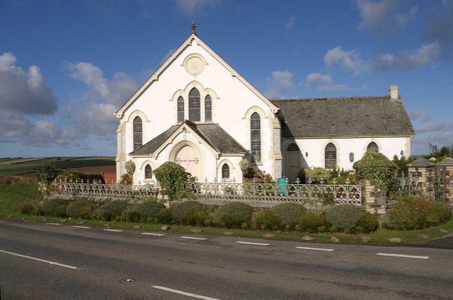
Image: © Derek Harper Taken: 30 Oct 2007
This appears to have been converted into a private dwelling, but has been renovated very sympathetically. The road is the A386 between Merton and Great Torrington. The telephone box shown on maps has vanished.
Images are licensed for reuse under creativecommons.org/licenses/by-sa/2.0
Image Location
Latitude
50.904075
Longitude
-4.103257