Farmland near Heath Farm
Introduction
The photograph on this page of Farmland near Heath Farm by Derek Harper as part of the Geograph project.
The Geograph project started in 2005 with the aim of publishing, organising and preserving representative images for every square kilometre of Great Britain, Ireland and the Isle of Man.

There are currently over 7.5m images from over 14,400 individuals and you can help contribute to the project by visiting https://www.geograph.org.uk
Farmland near Heath Farm
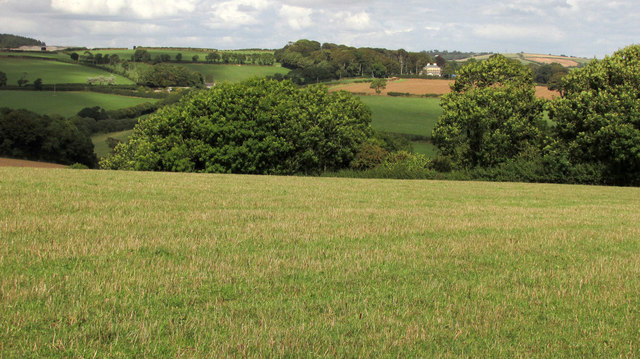
Image: © Derek Harper Taken: 16 Aug 2018
From where Image] was taken, looking more to the left, with Alleron House https://historicengland.org.uk/listing/the-list/list-entry/1306866 right of centre across the valley in Image
Images are licensed for reuse under creativecommons.org/licenses/by-sa/2.0
Image Location


Leaflet Map data © OpenStreetMap
Latitude
50.332668
Longitude
-3.822031