East end of Northolt Drive, Priestfield
Introduction
The photograph on this page of East end of Northolt Drive, Priestfield by Richard Vince as part of the Geograph project.
The Geograph project started in 2005 with the aim of publishing, organising and preserving representative images for every square kilometre of Great Britain, Ireland and the Isle of Man.

There are currently over 7.5m images from over 14,400 individuals and you can help contribute to the project by visiting https://www.geograph.org.uk
East end of Northolt Drive, Priestfield
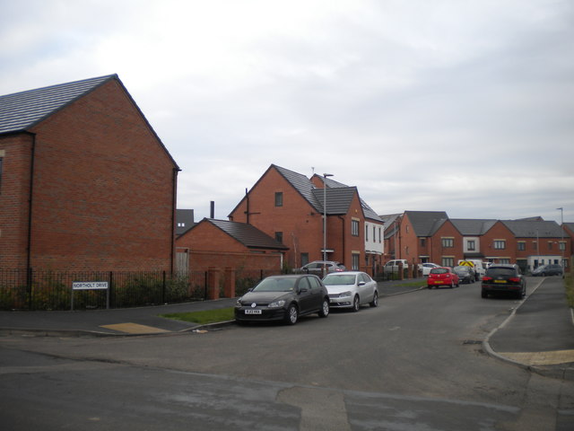
Image: © Richard Vince Taken: 20 Oct 2018
Part of a new housing development on either side of Ward Street, just to the north of the Birmingham Main Line Canal.
Images are licensed for reuse under creativecommons.org/licenses/by-sa/2.0
Image Location
Latitude
52.567009
Longitude
-2.095262