Farmland, Ringwould
Introduction
The photograph on this page of Farmland, Ringwould by John Baker as part of the Geograph project.
The Geograph project started in 2005 with the aim of publishing, organising and preserving representative images for every square kilometre of Great Britain, Ireland and the Isle of Man.

There are currently over 7.5m images from over 14,400 individuals and you can help contribute to the project by visiting https://www.geograph.org.uk
Farmland, Ringwould
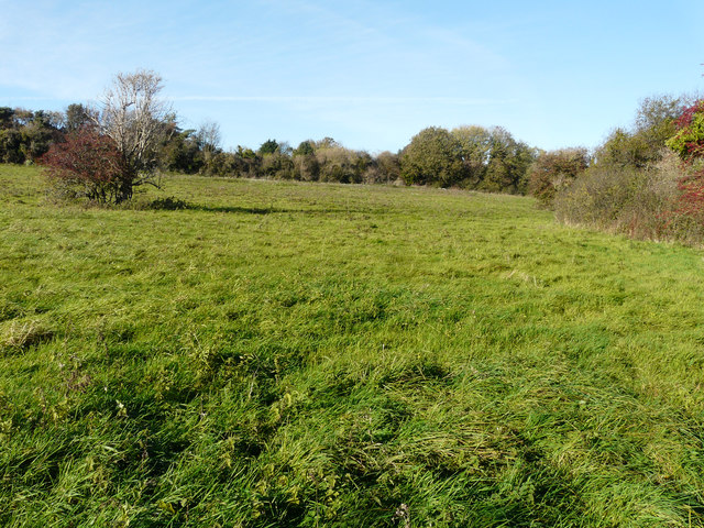
Image: © John Baker Taken: 8 Nov 2018
Planning permission was refused by Dover District Council under application number DOV/16/00626 for a “change of use of land and erection of a building to be used as a water bottling plant to include storage and offices, with new vehicular access, parking and turning areas and associated landscaping (existing buildings to be demolished)”. The existing buildings, which would have had to be demolished, are those of Ringwould Alpine Nursery Image, situated on Dover Road (A256), to make way for a new road from the A256 to the bottling plant. The council cited that the bottling plant would result in disturbance to householders, along the A256, overlooking the site from their back gardens, with regard to noise and lights caused by vehicles entering and leaving the site. A major consideration for refusal was that the site lies in the Kent Downs Area of Outstanding Natural Beauty. A footpath runs from the A256, through the trees on the right, to emerge onto and cross farmland towards Oxyneybottom Wood.
Images are licensed for reuse under creativecommons.org/licenses/by-sa/2.0
Image Location
Latitude
51.181673
Longitude
1.375563