Shelter Belt on Blake's Lane
Introduction
The photograph on this page of Shelter Belt on Blake's Lane by Colin Smith as part of the Geograph project.
The Geograph project started in 2005 with the aim of publishing, organising and preserving representative images for every square kilometre of Great Britain, Ireland and the Isle of Man.

There are currently over 7.5m images from over 14,400 individuals and you can help contribute to the project by visiting https://www.geograph.org.uk
Shelter Belt on Blake's Lane
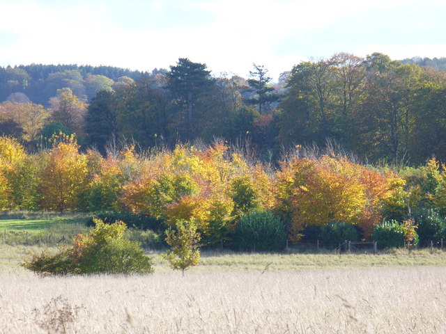
Image: © Colin Smith Taken: 30 Oct 2007
Trees lining the country lane by Blake's Lane Farm provide shelter from northerly winds here. In the foreground is a grassy field. On the skyline are the north Downs.
Images are licensed for reuse under creativecommons.org/licenses/by-sa/2.0
Image Location
Latitude
51.252371
Longitude
-0.475201