Golfing at Clandon Regis
Introduction
The photograph on this page of Golfing at Clandon Regis by Colin Smith as part of the Geograph project.
The Geograph project started in 2005 with the aim of publishing, organising and preserving representative images for every square kilometre of Great Britain, Ireland and the Isle of Man.

There are currently over 7.5m images from over 14,400 individuals and you can help contribute to the project by visiting https://www.geograph.org.uk
Golfing at Clandon Regis
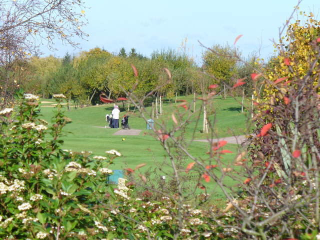
Image: © Colin Smith Taken: 30 Oct 2007
Exclusive and landscaped golf course on the lower dip slope of the North Downs between the Clandons.
Images are licensed for reuse under creativecommons.org/licenses/by-sa/2.0
Image Location
Latitude
51.252278
Longitude
-0.495839