Penrith Road
Introduction
The photograph on this page of Penrith Road by Ian Capper as part of the Geograph project.
The Geograph project started in 2005 with the aim of publishing, organising and preserving representative images for every square kilometre of Great Britain, Ireland and the Isle of Man.

There are currently over 7.5m images from over 14,400 individuals and you can help contribute to the project by visiting https://www.geograph.org.uk
Penrith Road
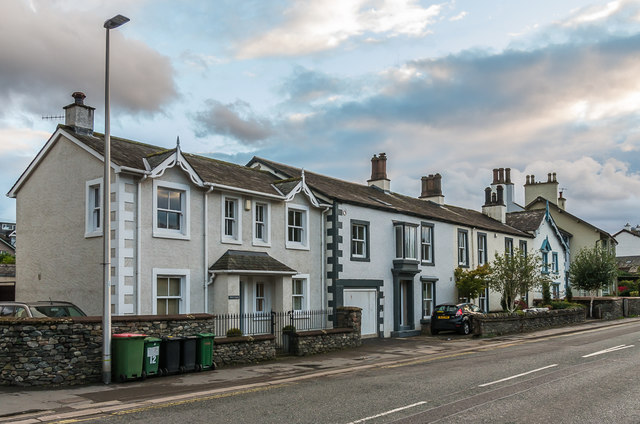
Image: © Ian Capper Taken: 24 Sep 2018
Early 19th Century housing on Penrith Road, in a section of the road marked on the 1867 6 inch map as Shorley Croft.
Images are licensed for reuse under creativecommons.org/licenses/by-sa/2.0
Image Location
Latitude
54.601404
Longitude
-3.132446