Merrow Methodist Church
Introduction
The photograph on this page of Merrow Methodist Church by Colin Smith as part of the Geograph project.
The Geograph project started in 2005 with the aim of publishing, organising and preserving representative images for every square kilometre of Great Britain, Ireland and the Isle of Man.

There are currently over 7.5m images from over 14,400 individuals and you can help contribute to the project by visiting https://www.geograph.org.uk
Merrow Methodist Church
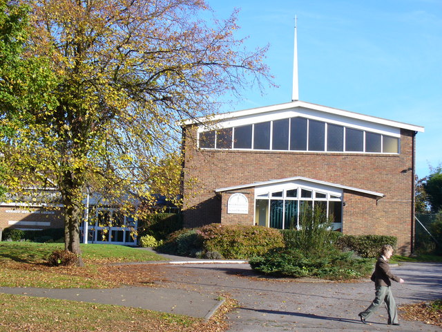
Image: © Colin Smith Taken: 30 Oct 2007
Brick building at the corner of Bushy Hill Drive and Sheeplands Avenue. Its foundation stone was laid in 1968. To the left, behind the tree, is the church hall which is used by local societies like Brownies and Toddlers' Group.
Images are licensed for reuse under creativecommons.org/licenses/by-sa/2.0
Image Location
Latitude
51.246998
Longitude
-0.533264