Bushy Hill Drive
Introduction
The photograph on this page of Bushy Hill Drive by Colin Smith as part of the Geograph project.
The Geograph project started in 2005 with the aim of publishing, organising and preserving representative images for every square kilometre of Great Britain, Ireland and the Isle of Man.

There are currently over 7.5m images from over 14,400 individuals and you can help contribute to the project by visiting https://www.geograph.org.uk
Bushy Hill Drive
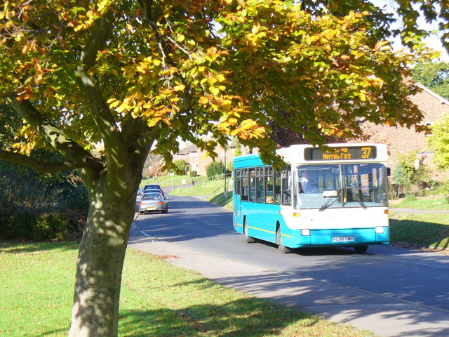
Image: © Colin Smith Taken: 30 Oct 2007
This is the main road serving the Bushy Hill housing estate. It is passing a wide green here. The houses date from the early 1950s. The bus connects the estate, and also neighbouring Merrow Park, Burpham and Weylea Farm estates, with Guildford borough centre.
Images are licensed for reuse under creativecommons.org/licenses/by-sa/2.0
Image Location
Latitude
51.247379
Longitude
-0.534971