Lower Wyndham Terrace semis, Risca
Introduction
The photograph on this page of Lower Wyndham Terrace semis, Risca by Jaggery as part of the Geograph project.
The Geograph project started in 2005 with the aim of publishing, organising and preserving representative images for every square kilometre of Great Britain, Ireland and the Isle of Man.

There are currently over 7.5m images from over 14,400 individuals and you can help contribute to the project by visiting https://www.geograph.org.uk
Lower Wyndham Terrace semis, Risca
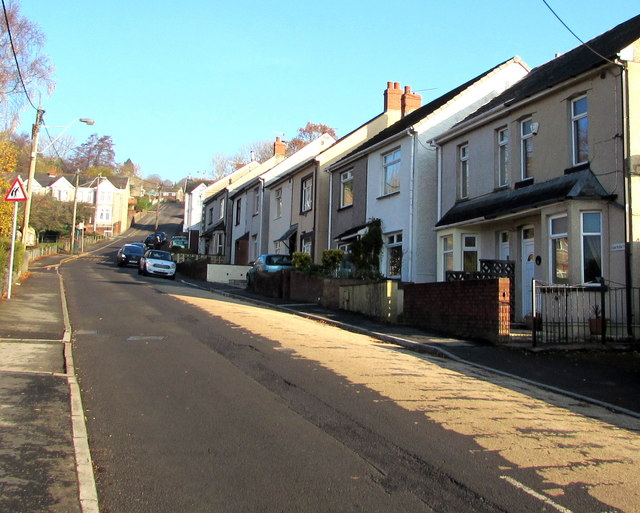
Image: © Jaggery Taken: 22 Nov 2018
Semi-detached houses on the east side of Lower Wyndham Terrace, on the ascent towards the Ty Sign area of Risca.
Images are licensed for reuse under creativecommons.org/licenses/by-sa/2.0
Image Location
Latitude
51.606914
Longitude
-3.090473