South along Ael-y-bryn, Bridgend
Introduction
The photograph on this page of South along Ael-y-bryn, Bridgend by Jaggery as part of the Geograph project.
The Geograph project started in 2005 with the aim of publishing, organising and preserving representative images for every square kilometre of Great Britain, Ireland and the Isle of Man.

There are currently over 7.5m images from over 14,400 individuals and you can help contribute to the project by visiting https://www.geograph.org.uk
South along Ael-y-bryn, Bridgend
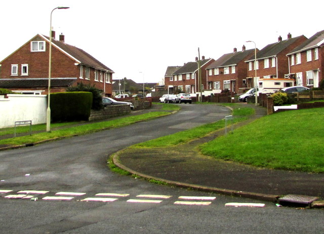
Image: © Jaggery Taken: 16 Nov 2018
From Queen's Road (Heol-y-frenhines in Welsh) along Ael-y-bryn towards Beechwood Avenue.
Images are licensed for reuse under creativecommons.org/licenses/by-sa/2.0
Image Location
Latitude
51.509605
Longitude
-3.601291