Abergavenny Sidings
Introduction
The photograph on this page of Abergavenny Sidings by Jaggery as part of the Geograph project.
The Geograph project started in 2005 with the aim of publishing, organising and preserving representative images for every square kilometre of Great Britain, Ireland and the Isle of Man.

There are currently over 7.5m images from over 14,400 individuals and you can help contribute to the project by visiting https://www.geograph.org.uk
Abergavenny Sidings
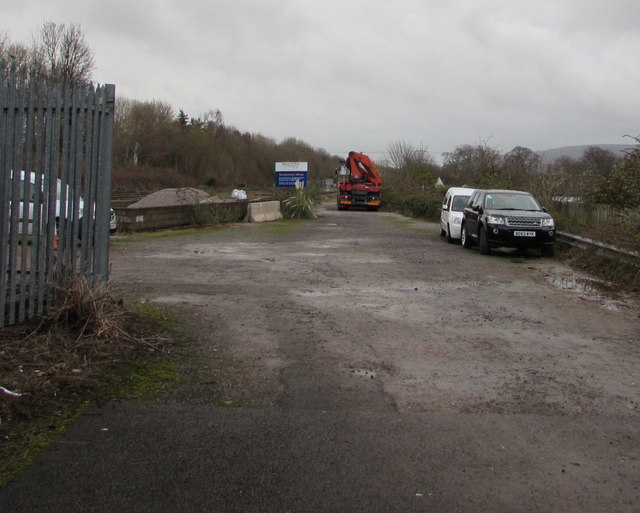
Image: © Jaggery Taken: 31 Dec 2017
Network Rail site viewed through the locked gate at the southern edge of Abergavenny railway station pay & display car park on the site of the former station yard. The board shows Network Rail - Abergavenny Sidings.
Images are licensed for reuse under creativecommons.org/licenses/by-sa/2.0
Image Location


Leaflet Map data © OpenStreetMap
Latitude
51.814805
Longitude
-3.009024