Unused picnic tables, Harbertonford
Introduction
The photograph on this page of Unused picnic tables, Harbertonford by Derek Harper as part of the Geograph project.
The Geograph project started in 2005 with the aim of publishing, organising and preserving representative images for every square kilometre of Great Britain, Ireland and the Isle of Man.

There are currently over 7.5m images from over 14,400 individuals and you can help contribute to the project by visiting https://www.geograph.org.uk
Unused picnic tables, Harbertonford
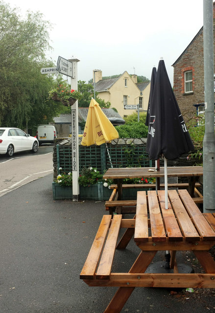
Image: © Derek Harper Taken: 12 Aug 2018
Hardly surprising on a dismal Sunday. The signpost seems to have migrated across the A381 since Image was taken.
Images are licensed for reuse under creativecommons.org/licenses/by-sa/2.0
Image Location
Latitude
50.392623
Longitude
-3.711917