Wide verge near Eaglesfield
Introduction
The photograph on this page of Wide verge near Eaglesfield by Jonathan Thacker as part of the Geograph project.
The Geograph project started in 2005 with the aim of publishing, organising and preserving representative images for every square kilometre of Great Britain, Ireland and the Isle of Man.

There are currently over 7.5m images from over 14,400 individuals and you can help contribute to the project by visiting https://www.geograph.org.uk
Wide verge near Eaglesfield
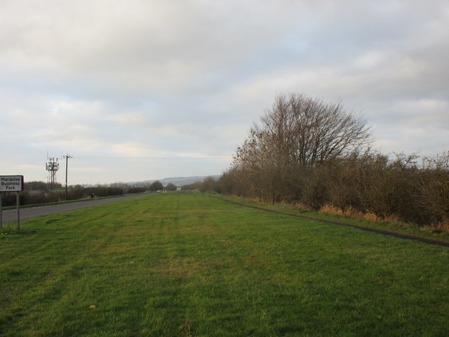
Image: © Jonathan Thacker Taken: 21 Nov 2018
The B7076 was narrowed after its demotion from being the A74.
Images are licensed for reuse under creativecommons.org/licenses/by-sa/2.0
Image Location
Latitude
55.050952
Longitude
-3.210845