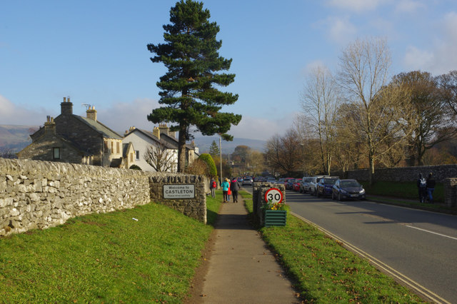
Buxton Road, Castleton
Introduction
The photograph on this page of Buxton Road, Castleton by Stephen McKay as part of the Geograph project.
The Geograph project started in 2005 with the aim of publishing, organising and preserving representative images for every square kilometre of Great Britain, Ireland and the Isle of Man.
There are currently over 7.5m images from over 14,400 individuals and you can help contribute to the project by visiting https://www.geograph.org.uk

Image: © Stephen McKay Taken: 18 Nov 2018
This is the western end of the village. Since 2000 this road has been designated A6187 but it was formerly the A625, part of a through route across the Peak District until the section over Mam Tor was closed in 1979 following repeated landslips.

