Snowhill Lane
Introduction
The photograph on this page of Snowhill Lane by Derek Harper as part of the Geograph project.
The Geograph project started in 2005 with the aim of publishing, organising and preserving representative images for every square kilometre of Great Britain, Ireland and the Isle of Man.

There are currently over 7.5m images from over 14,400 individuals and you can help contribute to the project by visiting https://www.geograph.org.uk
Snowhill Lane
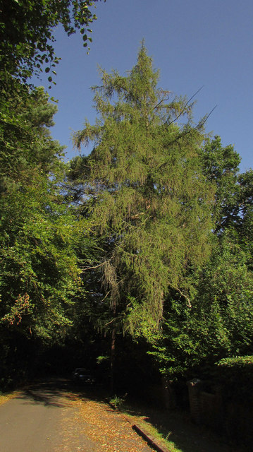
Image: © Derek Harper Taken: 3 Aug 2018
The cul-de-sac is almost invisible beneath dark trees on a bright summer morning. This used to be the route of the main road before the stretch shown in Image] was constructed.
Images are licensed for reuse under creativecommons.org/licenses/by-sa/2.0
Image Location
Latitude
51.143526
Longitude
-0.087358