Saughall Road bridge at the former Blacon Station
Introduction
The photograph on this page of Saughall Road bridge at the former Blacon Station by John S Turner as part of the Geograph project.
The Geograph project started in 2005 with the aim of publishing, organising and preserving representative images for every square kilometre of Great Britain, Ireland and the Isle of Man.

There are currently over 7.5m images from over 14,400 individuals and you can help contribute to the project by visiting https://www.geograph.org.uk
Saughall Road bridge at the former Blacon Station
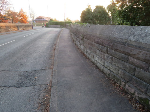
Image: © John S Turner Taken: 17 Nov 2018
This substantial former railway bridge carries Saughall Road over what is now Blacon Greenway and part of the Sustrans National Cycle Network Route 5. The railway and station closed on 9th September 1968. There is an Ordnance Survey bench mark on the wall on the right - Image
Images are licensed for reuse under creativecommons.org/licenses/by-sa/2.0
Image Location
Latitude
53.206363
Longitude
-2.926281