Hedged field, west of Hobshaddow Plantation
Introduction
The photograph on this page of Hedged field, west of Hobshaddow Plantation by Christine Johnstone as part of the Geograph project.
The Geograph project started in 2005 with the aim of publishing, organising and preserving representative images for every square kilometre of Great Britain, Ireland and the Isle of Man.

There are currently over 7.5m images from over 14,400 individuals and you can help contribute to the project by visiting https://www.geograph.org.uk
Hedged field, west of Hobshaddow Plantation
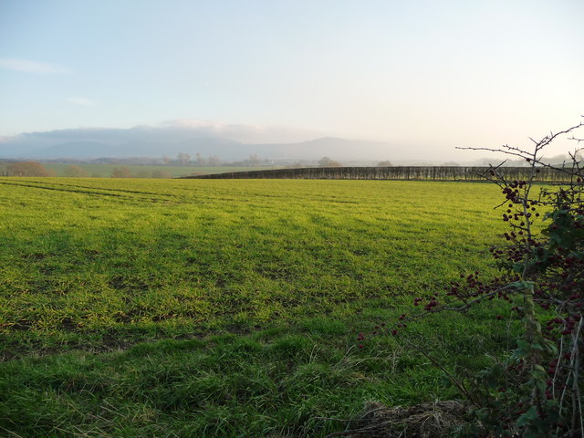
Image: © Christine Johnstone Taken: 15 Nov 2018
About 70 metres above sea level, on the east side of Holme Lane.
Images are licensed for reuse under creativecommons.org/licenses/by-sa/2.0
Image Location
Latitude
54.467679
Longitude
-1.254294