Brawdy airfield
Introduction
The photograph on this page of Brawdy airfield by Alan Hughes as part of the Geograph project.
The Geograph project started in 2005 with the aim of publishing, organising and preserving representative images for every square kilometre of Great Britain, Ireland and the Isle of Man.

There are currently over 7.5m images from over 14,400 individuals and you can help contribute to the project by visiting https://www.geograph.org.uk
Brawdy airfield
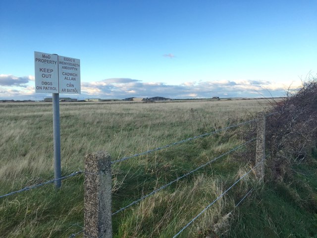
Image: © Alan Hughes Taken: 19 Nov 2018
A barbed wire fence and warning notice discourage access to the airfield.
Images are licensed for reuse under creativecommons.org/licenses/by-sa/2.0
Image Location
Latitude
51.872522
Longitude
-5.123169