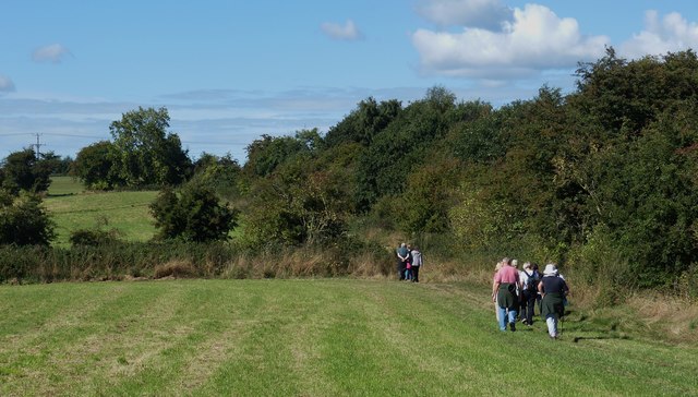
Walking the Cuckoo Way near Wales Village
Introduction
The photograph on this page of Walking the Cuckoo Way near Wales Village by Mike Nield as part of the Geograph project.
The Geograph project started in 2005 with the aim of publishing, organising and preserving representative images for every square kilometre of Great Britain, Ireland and the Isle of Man.
There are currently over 7.5m images from over 14,400 individuals and you can help contribute to the project by visiting https://www.geograph.org.uk

Image: © Mike Nield Taken: 9 Sep 2013
The Cuckoo Way is a 46-mile Long Distance Footpath following the Chesterfield Canal from Chesterfield to West Stockwith where the canal joins the River Trent. The Norwood Tunnel at Kiveton Park (now closed) takes the canal underground for just over 1½ miles and walkers have to travel overland using public footpaths between the east and west portals. Having left Kiveton Community Woodland behind, the photo above shows a group of walkers heading west along the path near Wales village towards the M1 motorway.

