Mont Calm, Manor Road
Introduction
The photograph on this page of Mont Calm, Manor Road by John Baker as part of the Geograph project.
The Geograph project started in 2005 with the aim of publishing, organising and preserving representative images for every square kilometre of Great Britain, Ireland and the Isle of Man.

There are currently over 7.5m images from over 14,400 individuals and you can help contribute to the project by visiting https://www.geograph.org.uk
Mont Calm, Manor Road
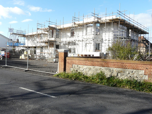
Image: © John Baker Taken: 28 Oct 2018
Viewed from Robin Hood Lane, planning permission has been approved, with conditions, by Folkestone and Hythe District Council under application number Y17/1240/SH for the “change of use from residential care and nursing home to 12 flats (8 x one-bed, 3 x two bed, 1 x 3-bed) including the construction of dormer window, the creation of additional parking spaces, the creation of a new access point from Robin Hood Lane and landscaping (following the demolition of an existing rear extension)”. This was Image after it had been closed.
Images are licensed for reuse under creativecommons.org/licenses/by-sa/2.0
Image Location


Leaflet Map data © OpenStreetMap
Latitude
50.950673
Longitude
0.911363