
Site of the Battle of Bosworth
Introduction
The photograph on this page of Site of the Battle of Bosworth by Kate Jewell as part of the Geograph project.
The Geograph project started in 2005 with the aim of publishing, organising and preserving representative images for every square kilometre of Great Britain, Ireland and the Isle of Man.

There are currently over 7.5m images from over 14,400 individuals and you can help contribute to the project by visiting https://www.geograph.org.uk
Site of the Battle of Bosworth
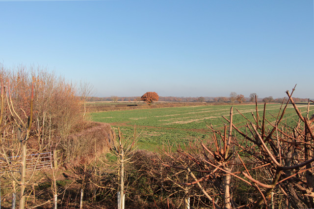
Image: © Kate Jewell Taken: 18 Nov 2018
This field is now believed to be the main battle arena in the Battle of Bosworth fought between Richard III and the future Henry VII on the morning of the 22nd August 1485. Albion Hill, originally thought to be the site of the battle, is on the centre horizon and is home to the Bosworth Battlefield Heritage Centre. The location of the battle has been under dispute for many years and, due to extensive archaeological field walking, surveys, the quantity of finds and detailed analysis of contemporary documents during the last 10 years or so, it seems most likely that this is the site of Richard's final charge on Henry Tudor. The quantity of Medieval lead shot of varying sizes discovered to date in this area is more than that found in the rest of Europe, and is of significant importance in the understanding of the deployment of early artillery in 15th century warfare.
Images are licensed for reuse under creativecommons.org/licenses/by-sa/2.0
Image Location

Latitude
52.579121
Longitude
-1.43844