Maidenhead Boundary Walk at Furze Platt
Introduction
The photograph on this page of Maidenhead Boundary Walk at Furze Platt by Des Blenkinsopp as part of the Geograph project.
The Geograph project started in 2005 with the aim of publishing, organising and preserving representative images for every square kilometre of Great Britain, Ireland and the Isle of Man.

There are currently over 7.5m images from over 14,400 individuals and you can help contribute to the project by visiting https://www.geograph.org.uk
Maidenhead Boundary Walk at Furze Platt
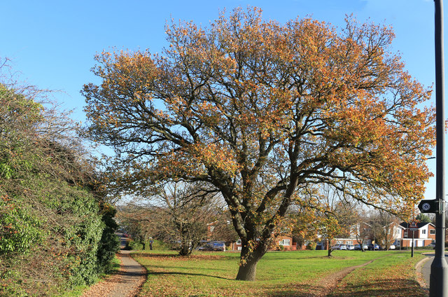
Image: © Des Blenkinsopp Taken: 18 Nov 2018
The Maidenhead Boundary Walk is a 14 mile way marked local walk around the town. An annual charity walk with the same name is organised by the local rotary club. https://www.ifootpath.com/display-ifootpath-walk?walkID=10396
Images are licensed for reuse under creativecommons.org/licenses/by-sa/2.0
Image Location
Latitude
51.537007
Longitude
-0.726401