Wall at the western end of St Mark's Road, Widcombe, Bath
Introduction
The photograph on this page of Wall at the western end of St Mark's Road, Widcombe, Bath by Jaggery as part of the Geograph project.
The Geograph project started in 2005 with the aim of publishing, organising and preserving representative images for every square kilometre of Great Britain, Ireland and the Isle of Man.

There are currently over 7.5m images from over 14,400 individuals and you can help contribute to the project by visiting https://www.geograph.org.uk
Wall at the western end of St Mark's Road, Widcombe, Bath
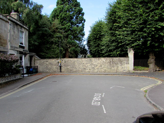
Image: © Jaggery Taken: 3 Sep 2018
Out of shot ahead, a path https://www.geograph.org.uk/photo/5980223 heads west towards the Oldfield Park area of Bath.
Images are licensed for reuse under creativecommons.org/licenses/by-sa/2.0
Image Location
Latitude
51.376303
Longitude
-2.35899