Listed cottages, Frogmore
Introduction
The photograph on this page of Listed cottages, Frogmore by Derek Harper as part of the Geograph project.
The Geograph project started in 2005 with the aim of publishing, organising and preserving representative images for every square kilometre of Great Britain, Ireland and the Isle of Man.

There are currently over 7.5m images from over 14,400 individuals and you can help contribute to the project by visiting https://www.geograph.org.uk
Listed cottages, Frogmore
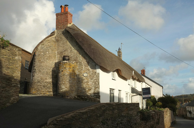
Image: © Derek Harper Taken: 13 Nov 2018
Chapel Cottage and Alexanders Cottage, set above the A379, are described at https://historicengland.org.uk/listing/the-list/list-entry/1108454 .
Images are licensed for reuse under creativecommons.org/licenses/by-sa/2.0
Image Location
Latitude
50.270948
Longitude
-3.723125