Top of track to Twyn Gwyn Road
Introduction
The photograph on this page of Top of track to Twyn Gwyn Road by M J Roscoe as part of the Geograph project.
The Geograph project started in 2005 with the aim of publishing, organising and preserving representative images for every square kilometre of Great Britain, Ireland and the Isle of Man.

There are currently over 7.5m images from over 14,400 individuals and you can help contribute to the project by visiting https://www.geograph.org.uk
Top of track to Twyn Gwyn Road
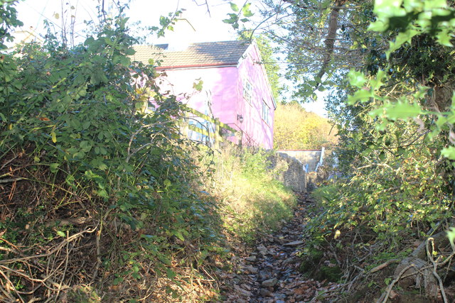
Image: © M J Roscoe Taken: 17 Nov 2018
Overgrown track on hillside, the pink house is on the opposite side of the road; a bright sunny afternoon. The wooded track is part of a SINC.
Images are licensed for reuse under creativecommons.org/licenses/by-sa/2.0
Image Location
Latitude
51.643316
Longitude
-3.184708