Polharrow Bridge
Introduction
The photograph on this page of Polharrow Bridge by David Purchase as part of the Geograph project.
The Geograph project started in 2005 with the aim of publishing, organising and preserving representative images for every square kilometre of Great Britain, Ireland and the Isle of Man.

There are currently over 7.5m images from over 14,400 individuals and you can help contribute to the project by visiting https://www.geograph.org.uk
Polharrow Bridge
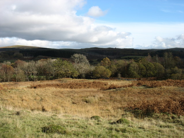
Image: © David Purchase Taken: 30 Oct 2018
This bridge, which carries the A713 across the Polharrow Burn at the point where the burn flows into the Water of Ken, is well hidden by trees but can just be made out. The photo was taken from the minor road which leads to Forrest Lodge.
Images are licensed for reuse under creativecommons.org/licenses/by-sa/2.0
Image Location
Latitude
55.133764
Longitude
-4.192213