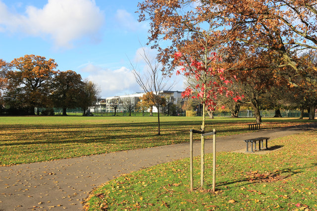
Warrender Park, Eastcote
Introduction
The photograph on this page of Warrender Park, Eastcote by Des Blenkinsopp as part of the Geograph project.
The Geograph project started in 2005 with the aim of publishing, organising and preserving representative images for every square kilometre of Great Britain, Ireland and the Isle of Man.
There are currently over 7.5m images from over 14,400 individuals and you can help contribute to the project by visiting https://www.geograph.org.uk

Image: © Des Blenkinsopp Taken: 13 Nov 2018
A diagonal view over the park towards a school on the far side. A Hillingdon Borough information page says "Warrender Park was formerly part of the larger Highgrove Estate, which was inherited by the Warrender family in 1894. Miss Elanor Warrender sold just over 10 acres of the estate lying to the south to the Ruislip-Northwood Urban District Council in 1935 for use as a recreation area with a children’s playground, sand pit and tennis courts. It was named Eastcote Recreation Ground but later became known as Warrender Park."

